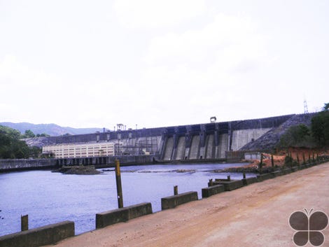
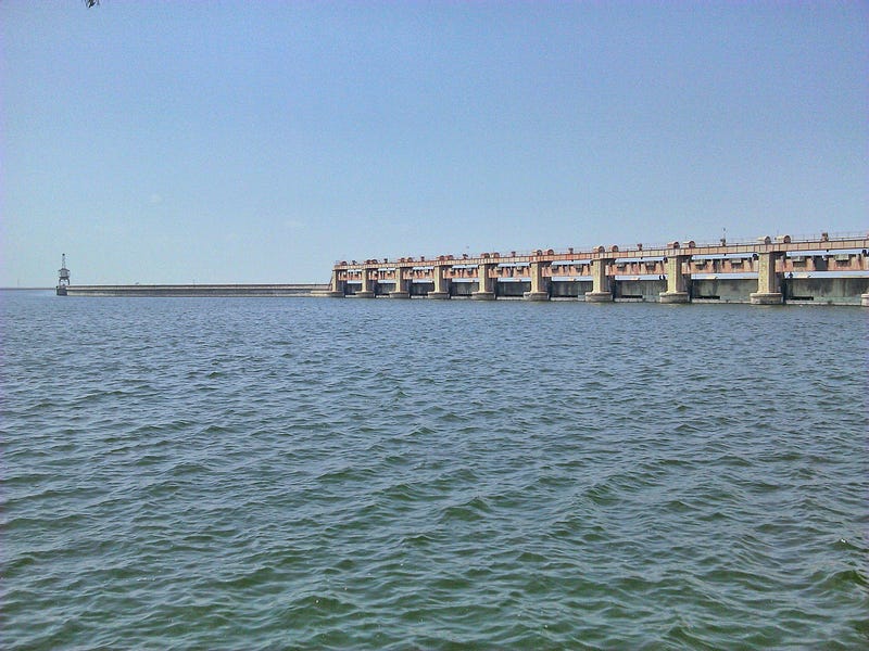
Rajaolibanda Diversion Scheme or RDS is an irrigation project located across River Tungabhadra in Kurnool district of Andhra pradesh and Raichur district of Karnataka.
Rajolibanda dam is situated in the Mehboobnagar district of Telangana. This dam was conseptualised in 1945 during British rule.
At a distance of 5 km from Pocharam village, 16 km from Medak and 109 km from Hyderabad, Pocharam Dam & Wildlife Sanctuary is situated in Medak district of Telangana. This is an ideal tourist place to visit from Hyderabad and spend few hours.
Pocharam Dam and Wildlife Sanctuary is spread over 130 sq km. It was a former hunting ground of the Nizams of Hyderabad. Established in the year 1952, the sanctuary gets its name from the Pocharam Lake formed after the construction of Pocharam Dam on Alair river, a tributary of Manjira River.
The check dam is wonderful site with water flowing freely throughout the monsoon. This is a nice place to relax and play in the water.
As the water flows over the steps of the Dam, it gives it the appearance of being a road of water. The Pocharam Dam reservoir is also a popular destination for fishing.
Kondapalli Fort, also locally known as Kondapalli Kota, is located in the Krishna district, close to Vijayawada, the second largest city of Andhra Pradesh, India.
Other than this, one finds inside a reservoir, Golconda Darwaza, Dargah of Gareeb Saheeb, Tanisha Mahal and several bits of history claimed by ruins. what one must not miss while in this area are the Kondapalli Toys, light weight wooden toys from the village around.
Some historians claim that the fort dates back to the 7th century, built by King Krishna Deva Raya. The fort got renovated later under the control of the Qutub Shahis. Today, its broken and dilapidated facades give you a glimpse of its past glories.
September to February are good to visit the place as the weather turns very pleasant — an ideal time for one to explore and walk about the fort’s ramparts.
Gerusoppa village 29 km before Honnavar, on the banks of River Sharavati in Uttara Kannada District. It was ruled by the Saluvas between 13th and 17th century. The village is renowned for the 14th century Chaturmukha Basadi (a Jain shrine), which has four identical doors in four directions.
Gerusoppa Dam and Valley are located in the historical town of Gerusoppa known for its monuments. On the banks of River Sharavati in Uttara Kannada District.
A clock tower located in the city chimes as the clock strikes hour to define town.
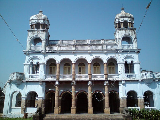
Gantasthambam is an ancient place in vizianagaram. This clock tower has a big sound alarm to wake up vizianagaram. my parents said that previously for every hour it sounds to tell the time to all vizianagaram people. i think now the sound is stopped by the management. A good and must watch place in vizianagaram Ganta Stambham
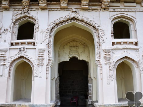
Gandikota is a small village on the right bank of the river Pennar, 15 km from Jammalamadugu in Kadapa district, Andhra Pradesh, India
Gandikota is one of the largest forts in India and is located amidst the picturesque surroundings of wild forests.
This fort has proved a vital role during various phases of history weather in Kakatiya reign, Vijayanagar reign or Qutub Shahi period. This fort was made too protected and secure against any intrusion. The designer of making the fort more secure was Pemmasani Thimma Nayudu.
Elgandal Fort is situated amidst palm groves on the banks of the Manair River, approximately 10 kilometres from Karimnagar on the Kamareddy Road in the Indian state of Telangana.
The fort is 10 km away from Karimnagar on the Kama Reddy Road and had been a center of power of various dynasties like the Kakatiyadynasty, Bahmanis, QutubShahis, Mughals and AsafJahis.
The fort had been a centre of power of various dynasties, including the Kakatiya dynasty, Bahmanis, Qutub Shahis, Mughals and Asaf Jahis. The fort was appointed as the headquarters of Karimnagar during the rule of the Nizams of Hyderabad. In earlier times, Elgandal is also called as Bahudhanyapuram, Tellakandula and Veligandula. And finally in course of time, the name changed to Elgandal.
Chinna Ranga Rao, who survived the Battle of Bobbili as a child was, at a later date, installed as the Raja of Bobbili. The successors of his lineage constructed the present Bobbili Fort following their improved economic conditions in the middle of the 19th century.
Bobbilli Fort is one venue that will give you a peek into the enchanting history of the kings and kingdoms of this region and throw light on the culture of the people here during the medieval times.
It has a historical link to the nearby mud fort of the same name which was destroyed during the Bobbili war in 1757 in a feud between the Rajas of Bobbili and the neighbouring landlord of Vizianagaram.
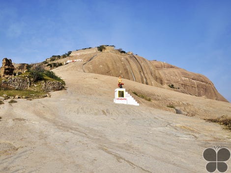
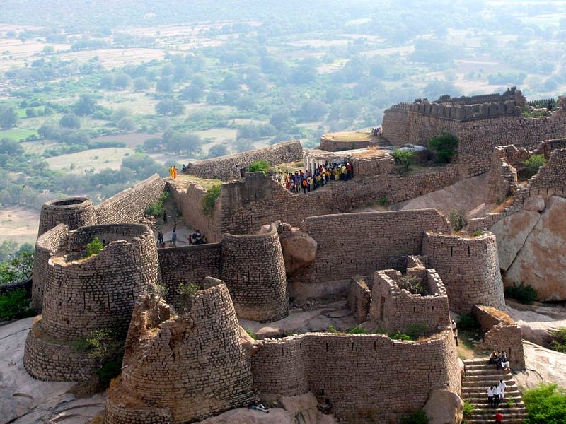
Bhongir Fort is a Fort located in Bhongir, Yadadri Bhuvanagiri District, Telangana, India. It is located on a huge rock at a commanding height
If you are driving, the road to Uppal, on the Warrangal Highway, should take you to it. Considering the weather conditions and upkeep of the roads, the drive will not take you more than an hour.
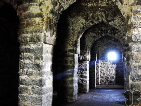
Bhongir Fort is enclosed by a moat with an underground chamber that is composed of trap doors, stables, ponds, and wells along with options for armoury.
This fort is associated with the brave Rudramadevi and her grandson. Not only is this a quick and fun lesson in history but also somewhere visitors have a number of spaces to explore. Trap doors, armories, stables, ponds, wells and even a network of underground chambers make for exciting stories. The trail goes along rock-carved steps that begin at the base of the hill, 250 of them to be specific.
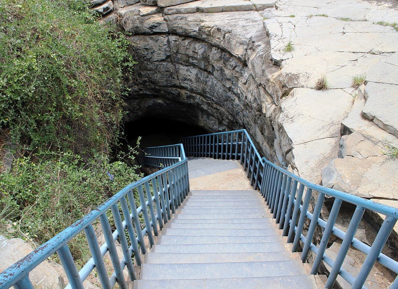
Belum Caves is the largest tourist cave in Indian subcontinent and the longest caves in plains of Indian Subcontinent, known for its stalactite and stalagmite formations.
The caves reach its deepest point (120 feet from entrance level) at the point known as Pataalaganga. Belum Caves derives its name from “Bilum” Sanskrit word for caves. In Telugu language, it is called Belum Guhalu. Belum Caves has a length of 3229 metr
These caves were formed millions of years ago by the erosion of lime stone deposits in the area due to the constant flow of the Chitravati River.
Belum Caves are remarkable creations of nature over time with long passages, spacious chambers, fresh water galleries and siphons. The caves are located at Belum village in Kolimigundla Mandal of Kurnool District in Andhra Pradesh.
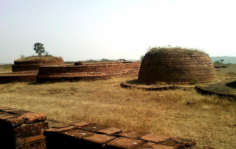
Bavikonda Buddhist lies about 16 km from Visakhapatnam, in the Indian state of Andhra Pradesh.
Thotlakonda Buddhist Complex is situated on a hill near Bheemunipatnam about 15 kilometres (9.3 mi) from Visakhapatnam in Andhra Pradesh.
Excavation carried out in 1982–87 revealed an entire Buddhist establishment comprising a Mahachaitya, embedded with relic caskets, , rectangular halls ,large vihara complex, a stone pillared congregation hall, a refectory etc. Artefacts discovered from the site include Roman and Satavahana coins and pottery dating back to the 3rd century BC to the 2nd century AD.
The Bavikonda site, today, is counted amongst one of the oldest and immensely sacred Buddhist sites in the Asia. The ruins of the site stand reminder to the great Buddhist civilisation that once existed in the southern part of India. The site, infact, also reminds a number of visitors of the Borobudur in Indonesia.
Visitors entering Thotlakonda have to go through a gate built in typical Buddhist style. Bavikonda offers a spectacular view of the surroundings and the Buddhist ruins spread over an area of about 40 acres.
Ali Sagar Dam is located near Jankampet village in Nizamabad district of Telangana. The Ali Sagar Deer Park is situated near the reservoir was established in 1985 and hosts many species of deer. This park serves as a good picnic spot especially for kids. The area is spread amid natural hillocks and colourful flower gardens. The lake and its awe inspiring surroundings are rich in scenic beauty.
A beautiful garden raised here attract picnickers from Nizamabad. The Garden occupies 33 acres with fountains, a Deer Park and a Tree House.
Chandragiri Fort is a historical fort, built in the 11th century located in Chandragiri, Tirupati in Andhra Pradesh, India.
At that period the place where this fort is located was in the Vijayanagar Empire. In the ancient period, two powerful states namely Kolathunadu and Thulunadu were existing and a river which crossing both the states was considered a border line for both the sates.
The Chandragiri Fort is easily accessible by air from Chennai, Bangalore (Bengaluru) and Hyderabad. The nearest railway station to Chandragiri is at Tirupathi.
The word Penukonda has the meaning of “Big Hill” in Telugu language. penukonda located away from 70 kilometers from Anantapur district in Andhra Pradesh. Penukonda fort was gifted by the King Bukka-I to this son Virupanna Udaiyar and at the time of Virupanna this fort was constructed. The first floor of this fort was full of residential apartments with the classically designed amenities for royal family members.
The central hall of this fort was designed in dual architectural manner. Dome of this hall has been designed in Hindu style of construction, whereas the floor has the signature style construction of Islamic architecture. A tunnel was also initiated from the central hall of this fort to the lowest feet of the hill on which the fort is located.
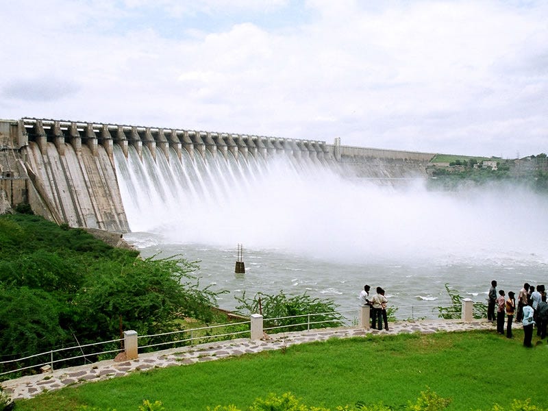
Nagarjuna Sagar Dam was built across the Krishna river at Nagarjuna Sagar where the river is forming boundary between Nalgonda District in Telangana and Guntur district In Andhra Pradesh states in India. world’s largest stone masonry dam during the time of its construction from 1955 to 1967. Built across River Krishna.
Tourism packages are arranged to Nagarjuna Sagar Dam which covers many venues of tourist interest. we can come across several ancient relics and monuments and an interesting museum that showcases a glimpse into the historical past of this interesting town. Nagarjuna Sagar town is near Mriyalguda and Machrela, where there are several hotels. The town is also very well connected with the cities of Hyderabad and Guntur through bus services.